
To be listed on the haciendadelalamo TODAY MAP please call +34 968 018 268.
HOME > > WALKS, SENDERISMO ROUTES
article_category
Murcia Sporting Activities & Events..Region of Murcia NewsWalks, senderismo routesTourist Info and places to visit..Property sales and rentalsLa Manga Club & Local newsCorvera Airport MurciaCante de las MinasCamposol & Local NewsLocal News and Community Info.Local News and Whats onWhat's on LorcaBanking Investment PensionsTourist Info and Places to visit..Whats On Alicante Comarca: NewsUseful local informationLocal News TotanaLocal News Pilar de la Horadada..Whats On North & North West Murcia..
Live Articles : 8
For more articles select a Page or Next.
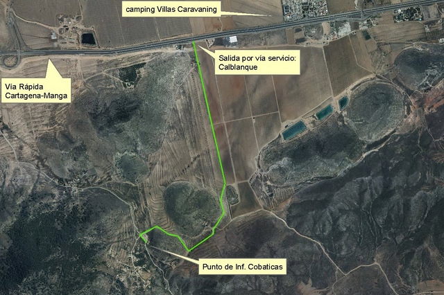
The regional park of Calblanque between Cartagena and Cabo de Palos A great area area for walking with several wild and picturesque beaches 1,882 hectares of land in Calblanque have been a protected nature reserve since 1987 in recognition of the fact that the area is one of the most typical of the coastline of the Region..
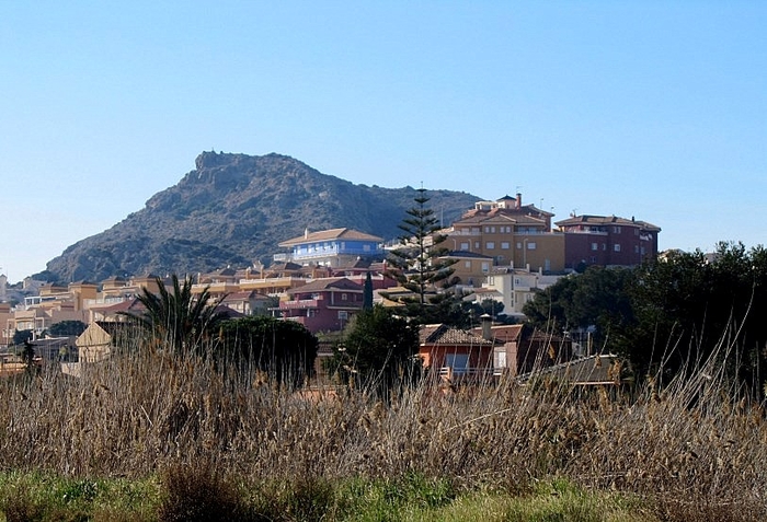
The extinct volcano of El Carmoli on the shore of the Mar MenorAn interesting geological walk in El Carmolí with spectacular views over the Mar Menor The volcanic plug of El Carmolí, which rises to an altitude of 113 metres above sea level, is one of a series of 7-million-year-old andesite plugs which include..
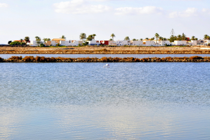
Marchamalo and Amoladeras nature reserves in Cabo de PalosSaltflats and native plantlife alongside Stone Age remains between the Mar Menor and the Mediterranean At the southern end of the heavily built up area of La Manga del Mar Menor is a zone where there are practically no buildings at all, just a series of abandoned..
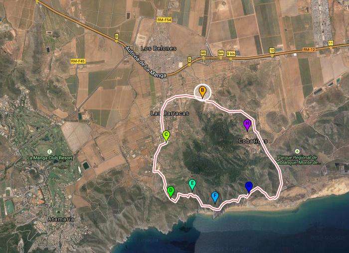
8-kilometre geological walk around Cabezo de la Fuente in Calblanque regional park A circular geological route in the Cartagena countryside Sendero Circular Cabezo de la Fuente: Length: 8 km Difficulty: medium Start point: Las Cobaticas information centre The Calblanque regional park (Parque Regional de..
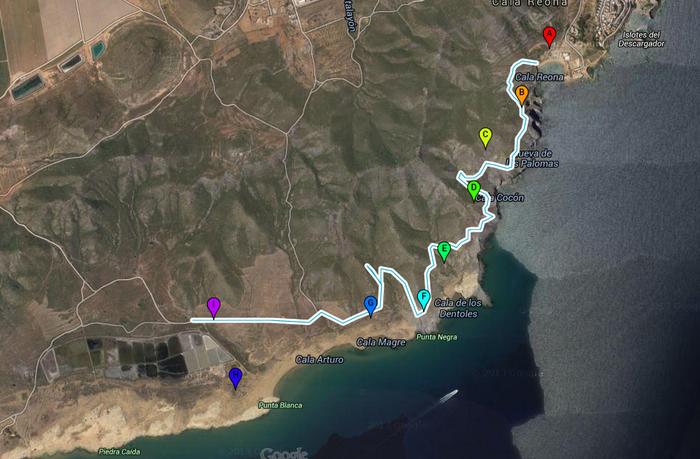
4-kilometre geological walk from Cala Reona to Salinas del Rasall in Calblanque regional parkThis pleasant walk in Calblanque is of great interest to geologists Distance: 4km, one way Start point: Cala Reona Difficulty level: medium This 4-kilometre route, which begins in Cala Reona and ends at the Salinas del Rasall in the regional park..
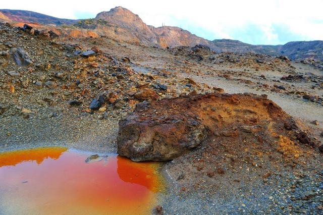
Guided walking in the Sierra Minera with the Fundación Sierra Minera This foundation offer guided routes through the mining area of La Unión The Fundaciòn Sierra Minera is a non-profit organisation which works to preserve the heritage of the Sierra Minera, and also engages in a number of educational activities..
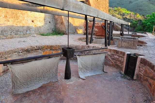
PR-MU 88 Route 33 a 7km walk between La Unión and PortmánA seven-kilometre walk through the mountains and history of Portmán and La Unión The Carretera del 33 is a seven-kilometre walk through the mountains of the Sierra Minera between La Unión and the coastal town of Portmán, taking..
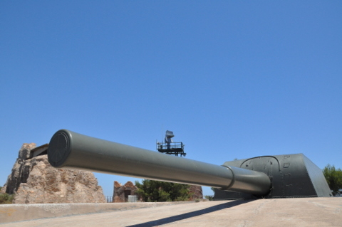
The gun batteries of Las Cenizas and Negrete in the mountains near Cartagena Early 20th century defence fortifications around the port of Cartagena Due to its sheltered natural harnour and the valuable mineral deposits nearby, Cartagena has always been an important port and strategical location and the doorway..
Live Articles : 8
For more articles select a Page or Next.
article_category
Contact Murcia Today: Editorial 000 000 000 /
Office 000 000 000


