To be listed on the haciendadelalamo TODAY MAP please call +34 968 018 268.
The Yecla-Biar greenway in northern Murcia and western Alicante
The Vía Verde del Chicharra covers a distance of 31.6 kilometres
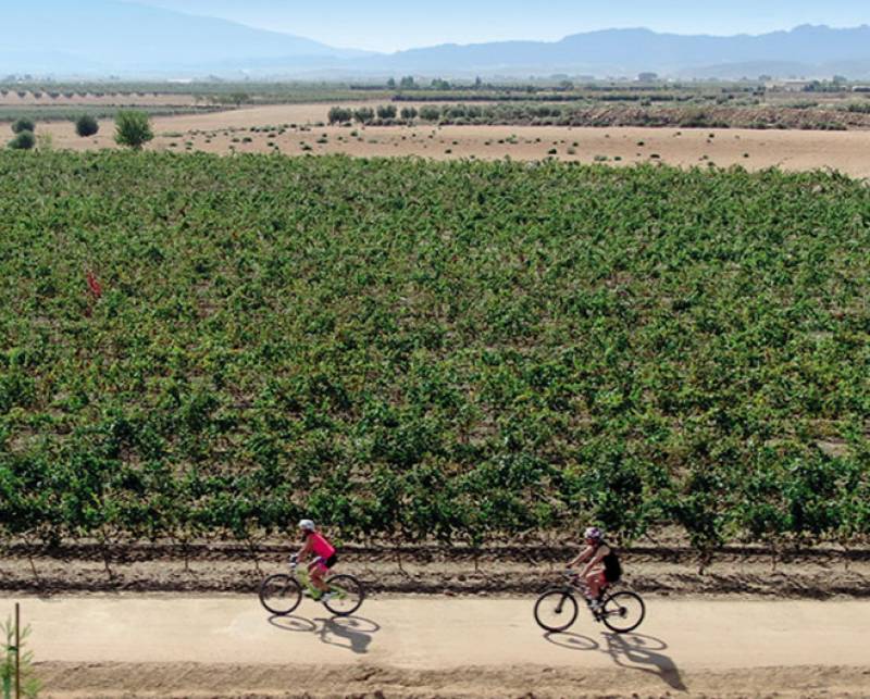 The Vía Verde del Chicharra is a greenway which has been created, like many others, by making use of an old disused railway trackbed, this one running from Yecla in the north of the Region of Murcia through Villena and on to the town of Biar in the Alto Vinalopó area of the province of Alicante.
The word “chicharra” means “cicada”, and the story goes that when the train was first brought into service in 1887 a local farmer, on hearing the strident screeching of the wheels on the tracks, commented “as if we didn’t have enough cicadas this year, now we have another one”. The line allowed a connection with the Madrid-Alicante line and made it far easier to sell the wine of Yecla to other parts of Spain, and in 1889 an extension to Jumilla was approved.
This was later extended as far as Cieza, and for years trains followed a 70-kilometre route in the Region of Murcia before reaching the boundary with Alicante.
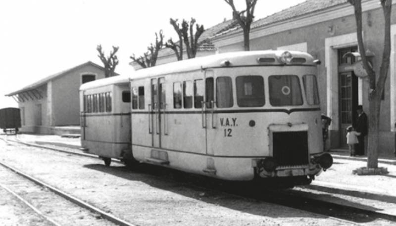 However, the old trains were extremely slow, travelling at around 15 km/h, and the route was abandoned on 1st July 1969. Tracks were removed, bridges were disassembled and gradually the line was left to deteriorate until the project to re-create it as a greenway prospered – although there is still a stretch of just under 7 kilometres on the Alicante side of the boundary of Murcia and Alicante which has not been brought up to standard.
Nonetheless, this greenway runs for 31.6 kilometres heading almost due east from Yecla (or west from Biar), and of course given that it follows an old railway line the inclines are very slight. Cyclists will generally complete the distance in around two hours 45 minutes, while a total walking time of 8 hours is considered adequate.
The route in the Region of Murcia
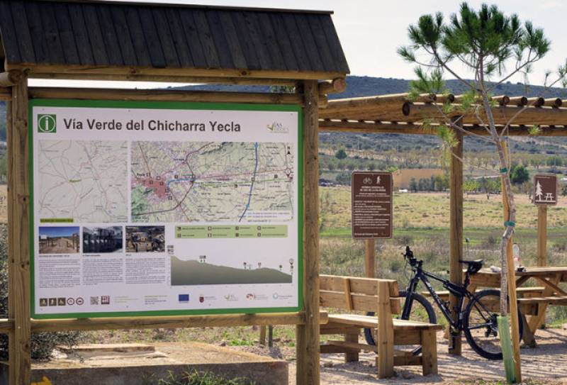 For those setting out from the town of Yecla the starting point is considered to be old station on the eastern outskirts (click for map), and initially the route follows urban streets before reaching the greenway itself more or less at the junction of the N-344 road with the RM-425 (click for map). As it heads east the route runs very slightly downhill, making it easy to enjoy the rural surroundings, the vineyards and the views back towards Yecla and the castle hill.
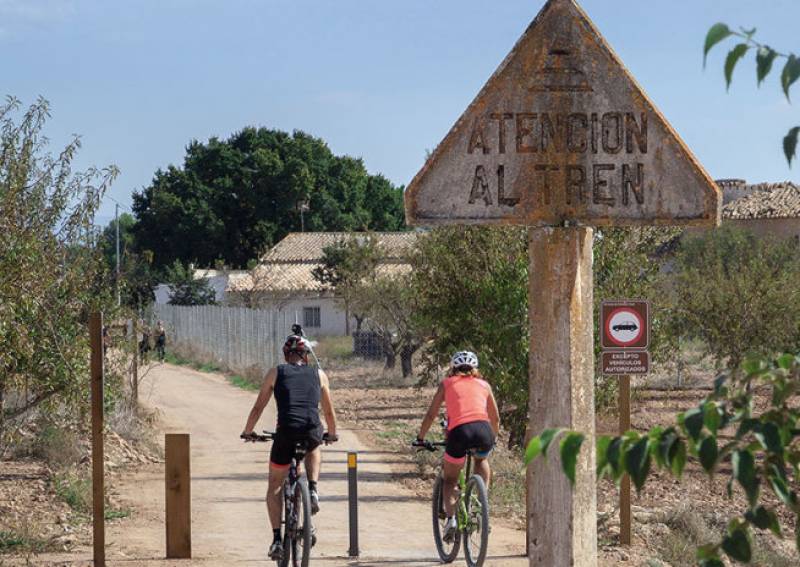 A rest area has been created at Los Marrañaos, around 5.5 km from the start, where in the past the train used to stop (although nothing remains of the platforms or station). The Murcia section then ends at El Patojo, where another rest area exists, and for many this will be a convenient point to arrange a pick-up as it is right next to the RM-425.
Those continuing east should note that the next 6.8 km of the greenway have not yet been brought into good condition, but from Las Virtudes it is possible to continue all the way to Villena and then on to Biar.
For more local events, news and visiting information go to the home page of Yecla Today.


