To be listed on the haciendadelalamo TODAY MAP please call +34 968 018 268.
PROPERTY SEARCH
article_detail
Date Published: 23/04/2025
€1 million mapping project to modernise urban planning in Mazarrón, Totana and beyond
The digital cartography upgrades will guide future housing, business and infrastructure development, mainly in south western Murcia
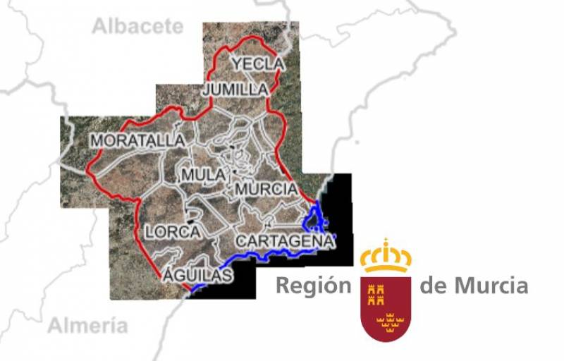
A new €968,000 investment by the Regional Ministry of Development and Infrastructures is set to transform urban planning across 16 municipalities in the Region of Murcia, including Mazarrón, Totana, Águilas, Puerto Lumbreras and more. The initiative aims to digitalise and update cartographic and urban planning data, making it freely available online to the public.
The project, which runs through 2026, will deliver high-resolution digital mapping and detailed land-use regulation data. This information will support better planning and decision-making for housing developments, infrastructure projects, and other land-use priorities.
Javier Rollán, Director General of Territorial Planning and Architecture, emphasised the long-term impact of the project: “The updating of the basic official cartography and information on the regulation of land use will serve as a reference for territorial and urban planning, as well as for strategic decision-making and the formulation of sectoral policies.”
The most substantial contract within this initiative is worth €865,600 and will fund MTR5-level digital mapping for eight municipalities in the Guadalentín region: Aledo, Alhama de Murcia, Librilla, Mazarrón, Totana, Águilas, Puerto Lumbreras, and the southern part of Lorca. This work will take 14 months and is expected to be completed by 2026.
In parallel, a second contract valued at €102,000 focuses on the digitalisation of urban planning data for Águilas, Alguazas, Cehegín, Las Torres de Cotillas, Librilla, Puerto Lumbreras, Totana and Villanueva del Río Segura. This stage will take seven months and is also set to finish in 2026.
According to Rollán, the public availability of this information – ranging from route searches in mobile apps to strategic location planning for companies – will offer practical benefits across the board. “Reliable, up-to-date and accessible cartography is needed,” he said.
This mapping and planning data has been classified as ‘high value’ under both European and Spanish regulations, highlighting its potential to create economic, social and environmental value. It is also expected to spur innovation, especially among small and medium-sized enterprises.